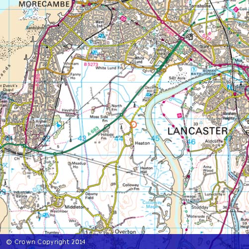
Please find below two Ordnance Survey (OS) maps of Heaton with Oxcliffe and the surrounding area. Click on the thumbnails to show the maps.
 Â Â Â Â Â Â Â Â Â Â
          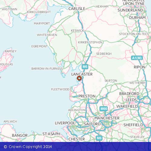
Where applicable images produced from the Ordnance Survey Get-a-map service. Images reproduced with kind permission of Ordnance Survey and Ordnance Survey of Northern Ireland.